
Brentwood Neighbors by Block Record
Records can describe the land around a Brentwood address without creating a public household roster. The county map is the starting point for parcel adjacency. Individual Assessor results provide a tax-roll owner and parcel facts. Deed records supply a title sequence, while City permit material may document a project when a particular existing record is requested. The statewide voter screen has a much narrower, person-specific role. The table identifies what each source can show and, just as important, the limit that prevents it from becoming a list of all neighbors.
| Source | What it shows about a block | Access and boundary |
|---|---|---|
| County Maps | Parcel boundaries, road frontage, and geographic context. | Official map entry point; dynamic tool inventory was not fully verified. |
| Assessor property result | Tax-roll owner, parcel description, property address, lot, and sale clue for one parcel. | Search parcels individually; it is not a household list. |
| Register and Archives deed trail | Ownership sequence and legal-description continuity. | Register for current and later chain work; Archives index and microfilm for history. |
| Tennessee voter records | Person-specific registration confirmation when required fields match. | No online street browse; protected identifiers and address protections apply. |
| Neighborhood Watch | Voluntary local organizing contact. | No official citywide member roster was located. |
An owner name, a mailing destination, and a resident’s presence are different facts. Keep them separate when considering Brentwood neighbors around any address.
Brentwood Neighbors Start on the Map
Williamson County Online Maps is the stable county gateway to the live map and official ZIP, voting-district, zoning, flood, civil-district, and index products. Use the gateway rather than a session-specific viewer URL because the county warns that the direct viewer link can change. Locate the known address, identify the parcel outline, and retain the parcel or map reference before moving to a property record.
Adjacency is physical. A parcel that merely shares a subdivision, postal city, or nearby street name is not necessarily next to the starting lot. Pan to the parcels that immediately meet the boundary, then search each one through the Assessor. This modest sequence is more accurate than treating an entire development as one block. Assessment ownership can also lag a recent transfer, so preserve the date of the search and verify title when timing matters.
Note: The county map offers geography and context; it does not document every occupant or promise an owner name in a map popup.
Map Brentwood Neighbors Parcel by Parcel
The adjacent-parcel method uses a short repeatable path. It keeps a block question tied to actual lot lines and avoids claiming unverified map features such as a radius, buffer, or select-by-location tool.
- Find or zoom to the starting address through the county map entry point and note the map or parcel identifier visible for the location.
- Use Williamson County Property Search to match that identifier or the property address to its tax-roll result.
- Pan across each immediately contiguous parcel boundary, capture its parcel or map clue, and repeat the individual property search.
- Record the displayed owner, property address, parcel description, lot, and sale clue as property facts, without inferring every person at the address.
- For an ownership change or a fuller address trail, take the legal-description clue to the Register of Deeds or the historical Archives route.
The process is address to map, map to parcel, and parcel to an individual property record. A question about a full named street has a different scope; the Brentwood street directory follows that address-by-address record chain.
Brentwood Neighbors and Map Overlays
County maps can add useful context around a parcel. The official Maps page links ZIP, voting-district, zoning, flood, civil-district, and other mapping products. A zoning boundary may explain a land-use question. A ZIP map can clarify postal geography. A voting-district map can clarify a civic boundary. None of those layers adds an occupant list, a household relationship, or a private contact detail. Keeping that distinction clear makes an adjacent-parcel result less likely to be overstated.
The live ArcGIS interface did not render a complete documented layer list, popup field list, or tool inventory during research. No county source confirmed a buffer, radius, measure, or select-by-location function. Use the county’s verified map-to-parcel workflow instead of attributing capabilities to the live viewer that have not been documented. If a map and property result conflict, retain the parcel reference and ask the appropriate county custodian about the record.
Brentwood Neighbors and Voter Limits
The Tennessee Voter Registration Lookup cannot be used to browse a block. It requires County, First Name, Last Name, Birth Month, and Birth Year, and it returns a registration result or a no-record notice for a particular person. There is no street, address, ZIP, or map field. A no-result can reflect spelling, county, required birth inputs, status, or a protected record. It does not prove that someone has never lived nearby.
Tennessee voter information is subject to redaction. Social Security numbers, driver-license information, and other protected identifiers are not open through the voter record. Safe at Home protections can also shield a participant’s actual address. T.C.A. § 2-2-138 is the voter-list rule, but the research did not locate a current Williamson County request form, fee, delivery format, or certification details. The useful next question for the Election Commission is what fields, geographic scope, form, cost, and permitted use currently apply to a lawful request.
Brentwood Neighbors Through Voluntary Contact
Brentwood Police supports resident-created Neighborhood Watch groups. The documented path is for neighbors to determine local interest and then contact Crime Prevention Officers to schedule a meeting. This is a voluntary civic route, not a substitute for public-record verification and not a directory of members. It is the clearest official way to make a community connection without treating property or voter data as a social roster.
| Documented Neighborhood Watch contact | Telephone | Role |
|---|---|---|
| Officer Colin Lane | 615-577-6021 | Crime Prevention contact for Neighborhood Watch support. |
| Officer Bryan Kirkpatrick | 615-577-6055 | Crime Prevention contact for Neighborhood Watch support. |
Brentwood Police’s Neighborhood Watch page is shown below. It supports a meeting-based approach where people choose to participate, rather than publishing a list of households.
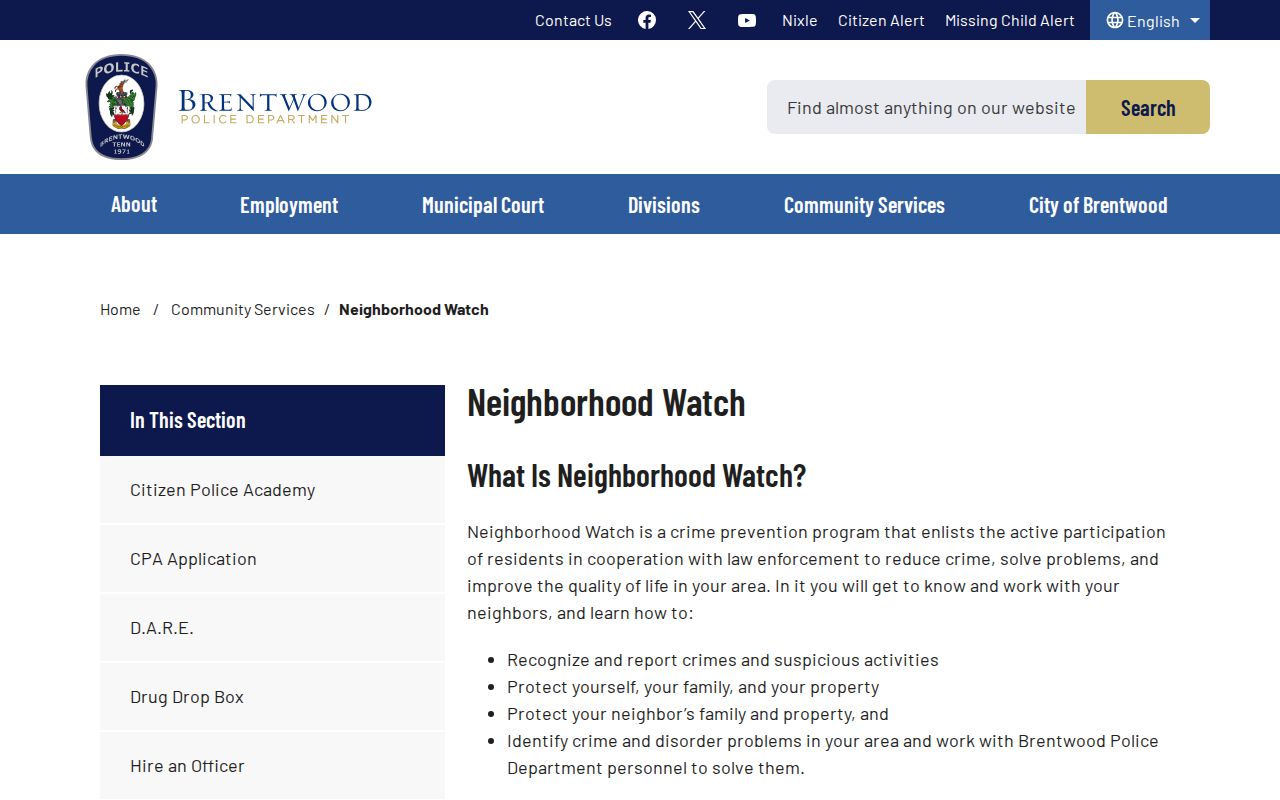
The public contact route respects the difference between an address record and a neighbor who chooses to take part in a local group.
Brentwood Neighbors and HOA Roles
City materials show that neighborhood organizations and HOAs often play a role in Brentwood processes. Neighborhood Luminaries are handled locally through neighborhood or HOA decisions. The mid-block crossing process can begin with an HOA or a resident petition representing 20 percent of homes within 1,000 feet, and the speed-hump process puts an HOA first where one exists. These references describe local civic roles, not a published membership list or a citywide HOA directory.
No official source located during research names an association with a public member roster or provides an official universal HOA contact inventory. A particular association may choose to publish its own contact information, but it should be used only when that association itself makes it public. Do not infer a roster from a traffic petition, a luminary decision, a parcel map, or a City page.
The City’s mid-block crossing information appears below. It illustrates a neighborhood participation process, not a source for identifying households.
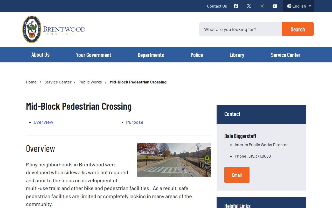
The distinction helps keep a community process from being mistaken for a public directory of Brentwood neighbors.
Brentwood Neighbors: Official and Commercial Sources
Official records have a defined custodian, field limits, and a documented correction path. Commercial neighbor-search products are a different category: they can combine old, incomplete, or mismatched data from mixed sources. A result from that category should never override a current public-record correction, a protected address, or a document’s actual date and role. For a property question, start with the relevant county or city custodian instead.
| Source type | Useful for | Key limit |
|---|---|---|
| Official map and property records | Parcel geography and tax-roll ownership facts for a specific lot. | Do not identify all people living there. |
| Official Register or Archives records | Title history and cited historic documents. | Need the original record checked; index entries are leads. |
| Commercial compiled tools | A possible lead to verify independently. | May be stale, merged, incomplete, or inconsistent with custodial records. |
Privacy Boundaries for Brentwood Neighbors
Property ownership does not establish every household member. A mailing address can be a correspondence destination rather than a physical residence. Voter confirmation is person-specific, protected residents may have substitute addresses, and utility or motor-vehicle information is not an open neighborhood directory. Court and vital records have their own confidentiality rules. The proper response to a protected or missing record is to accept the boundary or ask the relevant custodian about an existing, releasable document.
For municipal material, the Brentwood City Recorder receives public-record requests for existing City records under the Tennessee Public Records Act, subject to the Tennessee-citizenship rule and redaction. A request needs an address, date range, and record type, such as an existing permit or City-held document. It should not ask the City to compile a list of people around a block. County records likewise require a question tailored to the record the office actually keeps.
Note: A block map is a geographic starting point, while a voluntary Neighborhood Watch connection depends on people choosing to participate.