
Walking a Brentwood Street by Address
A Brentwood street directory is strongest when it is treated as a record trail. Begin with one full address in the county property search to identify its parcel, owner, lot, map, subdivision, and sale clues. Use the parcel rather than a similar street name to bring the question to the Register of Deeds or, for the historic period, to Archives material. Then decide whether the question needs a person-specific voter confirmation, a city record request, or a staff-confirmed historical directory. The result is an address-to-record workflow, not a reliable roll of all current occupants.
Ownership and presence are different facts. A tax-roll owner can receive notices elsewhere, and a property record does not identify every person who may be at a Brentwood address. Work parcel by parcel, save the date of each result, and ask each custodian for the record it actually holds.
- Enter one address in Williamson County Property Search and save the verified parcel, lot, map, subdivision, owner, and sale fields.
- Use the county Maps entry point to confirm the parcel boundary and locate the immediately adjoining parcels.
- Take the legal-description and transaction clues to the Register of Deeds, or to Archives microfilm for the pre-1966 portion of a title trail.
- Use Tennessee voter registration only to confirm a particular named person with the required county and birth fields; it does not browse a street.
- Ask library staff whether a requested historical city directory or reverse volume exists before treating it as an address source.
Brentwood Address Record Property Fields
Williamson County Property Search provides the clearest official address entry point for a Brentwood street. Its current assessment screen accepts Property Address, Owner Name, Subdivision, City, Lot Number, Map, Parcel, and a last-sale date range. The search is informational, and the county says bulk collection and redistribution are prohibited. Start with Property Address for a street question. Move to the lot, map, parcel, or subdivision after a result supplies a stable land clue.
| Williamson County field | Type | Street-directory use |
|---|---|---|
| Property Address | Optional text, example “123 MAIN ST.” | Matches one parcel to a known street address. |
| Owner Name | Optional text, example “Smith John Q” | Checks a tax-roll ownership lead. |
| Subdivision / City / Lot Number | Optional text or city dropdown | Distinguishes a platted property from a similar address. |
| Map / Parcel | Optional county identifiers | Connects the result to a map and legal description. |
| Last sold on or after / before | Optional month/day/year inputs | Narrows a sale-date question. |
The Williamson County Property Search displays the official address and parcel search fields.
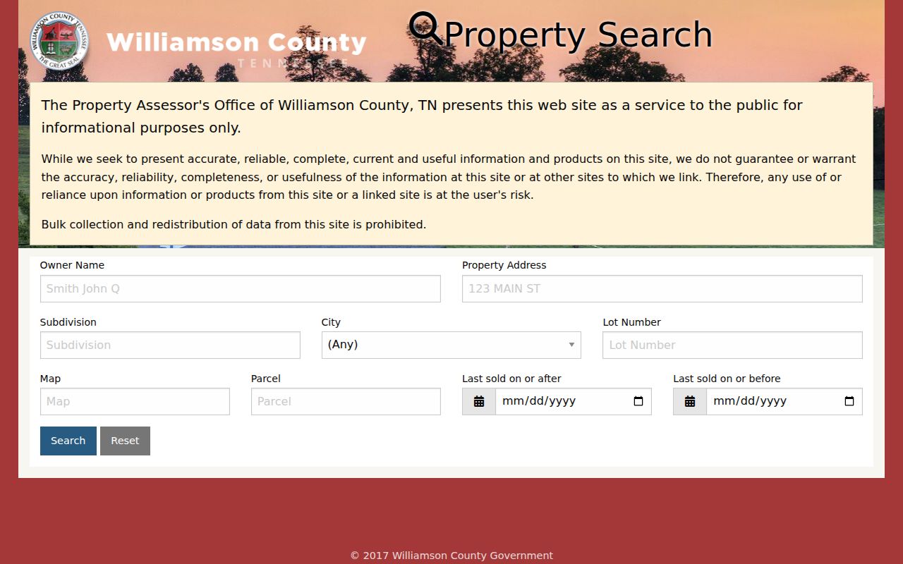
A typical visible result row lists Owner(s), Property Address, City, Parcel Description, Lot Number, Sale Date, and Price. Selecting a parcel may open more detail, but the inspected row does not prove that an owner is present at the Brentwood property.
Brentwood Address Records by Street
Address-keyed records use different identifiers and offer different kinds of evidence. The assessment system shows a taxable parcel and owner lead. The map shows geographic context. A deed connects parties through a legal description. A city permit can document a project when an existing record is available. The state voter tool does not turn any of those records into a street roster. Keep the map or parcel number with each request so the same land can be recognized across Brentwood and Franklin offices.
| Address record | What it can establish | Brentwood access route |
|---|---|---|
| Assessment/property result | Tax-roll owner, address, parcel description, lot, sale clue | Williamson County Property Search. |
| County map and parcel boundary | Physical adjacency and geographic overlays | Williamson County Maps entry point. |
| Current instrument | Grantor, grantee, recording reference, and legal description | Register of Deeds counter or phone route. |
| Historic deed, tax, or probate reference | Index reference to a microfilm, book, or file | Archives online index and reading room. |
| Permit or inspection record | Address-linked project history where open | Planning & Codes or a targeted City request. |
| Voter registration | One named registration confirmation | State lookup or current lawful Election Commission process. |
The Williamson County Maps page is the stable official launch point for the current online map and its official ZIP, zoning, voting-district, flood, and civil-district products.
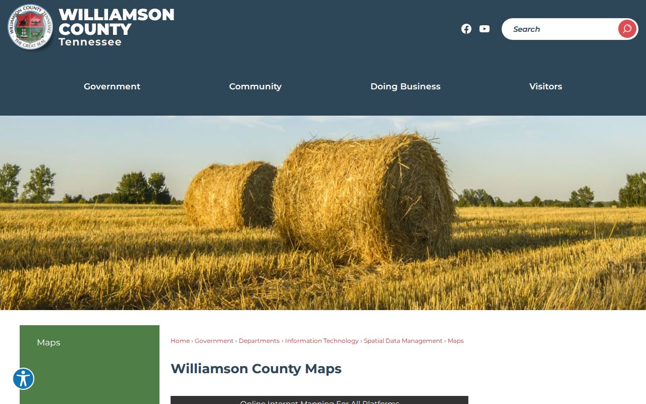
Use the county entry page rather than treating a temporary map session link as permanent. The documented map route supplies location context, not a verified occupant list.
Brentwood Street Parcel Mapping
For a Brentwood street segment, search or zoom to the starting address in the county’s live map, identify the parcel boundary and available map or parcel reference, then reconcile that reference in Property Search. Pan to a parcel sharing the boundary and repeat the same record check for that individual parcel. This method avoids confusing a whole subdivision, a similar road name, or a mailing-city label with the lot next to the address under review.
The county Maps page says that its direct viewer link can change. Research did not verify a full live control inventory, map-popup owner display, or a buffer, measure, or select-by-location tool. Do not rely on a feature that has not been confirmed in the current viewer. The individual map and assessment records are the defensible Brentwood street-directory chain.
Brentwood Address Record Land Terms
Street text can be less durable than the land identifiers behind it. These terms make it easier to move a Brentwood address through map, assessment, and deed records without treating a correspondence address as proof of a person’s location.
- Parcel
- A defined piece of land used by the county map and assessment systems.
- Situs address
- The physical address assigned to the parcel.
- Mailing address
- The destination for notices, which can differ from the situs address.
- Plat
- A recorded map that lays out a subdivision, lots, streets, or easements.
- Criss-cross directory
- An address-oriented printed directory, usable only if library staff confirms the year and format.
A different mailing address may identify where correspondence goes for an owner, trustee, estate, or tax-contact arrangement. It does not establish who is at either Brentwood address. A lot, block, subdivision, map, parcel, and legal description are steadier connectors when a modern street label is missing from older material.
Brentwood Street Deed Chain
Once a parcel is documented, take the current owner, sale-date clue, lot or subdivision, and legal description to the Williamson County Register of Deeds. Ask for the instrument or conveyance reference that matches the transfer. Record the grantor, the party transferring the land, and the grantee, the party receiving it, along with the recording reference and legal description. Search the earlier seller as a later buyer when the same land description supports the match. A sale date in the assessment record is only a clue, not a complete title chain.
Williamson County’s historic-home guide creates a practical 1966 fork. Start after 1966 with the Register, then use the Archives index and microfilm for deeds drafted before 1966. The historical deed index shows Grantor/Grantee, Year, Document, and Book/Page, and its listed deed coverage includes 1786, 1792–1963, and 1977. An index row points to a record location; it does not guarantee an image or establish the full document content.
Brentwood Address Permit Record Route
Brentwood Planning & Codes handles permit and inspection work related to building, additions, remodeling, demolition, pools, decks, plumbing, and mechanical projects. The current online system is account-based for applications, plans, status, comments, payments, and inspection scheduling. Research did not locate a parallel no-login address browser. A permit can help date a project or identify an open project record, but it is not evidence that a named person is at the address.
For a historic or specific address question, contact the City with the exact property address, requested record type, and date span. The City Recorder’s public-records route is the fallback for a specifically described existing municipal record. It does not require the City to assemble a new street directory from separate sources.
The Brentwood Planning & Codes page describes the permit and account path.
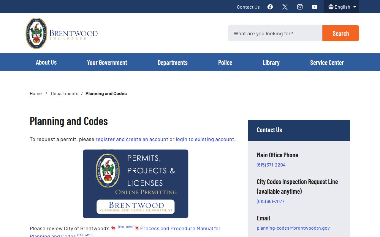
That distinction keeps a Brentwood permit search focused on a documented project rather than an unsupported claim about residence.
Brentwood Street Voter Search Boundary
Tennessee’s public registration lookup requires County, First Name, Last Name, Birth Month, and Birth Year. It has no street, address, ZIP, or map field. It can help verify a particular named registration when all required data are entered, but it cannot be used to browse registered voters along a Brentwood road. A no-result can reflect several inputs or protected-record treatment, not a definite conclusion about a person.
Voter registration information is public subject to redaction of protected identifiers, and T.C.A. § 2-2-138 governs voter-list availability and use. The research did not verify the active county request form, fee, delivery format, or field list. Ask the Williamson County Election Commission for the current lawful process instead of treating the public screen as a street search. Safe at Home protections can also affect address information.
Brentwood Historical Street Record Shelf
Williamson County Public Library Special Collections confirms city directories in its local-history holdings, along with yearbooks, newspapers, court material, and genealogy resources. It does not publish the exact Brentwood, Nashville, or Williamson County directory years, publishers, reverse formats, or shelf list online. Call before visiting with the name or address, desired decades, and a request that staff confirm whether an alphabetical directory, telephone book, yearbook, newspaper index, or criss-cross volume is actually available.
A confirmed reverse volume can connect an address to the printed occupant for that particular historical year. If no reverse volume is available, use an alphabetical directory and compatible local-history records instead. The fuller collection and reading-room treatment belongs with the Brentwood city directory; a street search should not invent a run or a reverse format that staff has not confirmed.
Brentwood Street Address Geography
A postal city name, a ZIP code, a corporate limit, an Assessor city field, and a legal description serve different purposes. USPS confirms delivery ZIP information but says a ZIP result does not confirm that a person or company is at an address. County assessment and Register records serve the whole county, while City Recorder and Planning & Codes material concerns files in their custody. Keep a physical address, mailing wording, parcel or map number, and legal description together when a Brentwood record seems to cross a jurisdiction line.
Brentwood incorporated in 1969. Earlier records may be indexed under Williamson County, Cottonport, Hardscuffle, a road, or legal-description language rather than the current city name. No official dated citywide street-renumbering campaign was found. When an old address fails to match, ask the Archives for road, subdivision, plat, or legal-description references instead of guessing a new number.
Brentwood Street Record Source Comparison
Two local routes can concern the same address without serving the same purpose. The county assessment and map chain supplies parcel context. The City’s account portal serves applicants managing their own permit work. A City Recorder request is the alternative for an identified municipal document when a public browse screen is not available. The records should be compared by custodian and purpose, not treated as interchangeable address lists.
| Brentwood route | What it is best for | Important limit |
|---|---|---|
| Assessor plus Maps | Parcel, lot, tax-roll owner, and location context | Does not prove who is present at an address. |
| Register plus Archives | Current and historic title sequence | Requires legal-description and date work. |
| Planning account portal | Applicant permit submission and status functions | No verified public street browser. |
| City Recorder / TPRA request | A specifically described existing municipal record | Does not require creation of a new list. |
That comparison is especially useful when a Brentwood address has a strong parcel trail but only limited city permit access.
Brentwood Street Record Privacy Boundaries
Property taxes do not identify every household member, voter lookup is person-specific, and permit files describe projects rather than a population at the address. Court and vital records can be sealed or confidential. Federal DPPA restrictions limit personal motor-vehicle information. A utility customer list was not established as an open Williamson County or Brentwood record set in the research. Protected voters and Safe at Home participants may have an address withheld or substituted.
When a record is missing, preserve the source and date, then ask the correct custodian about a lawful alternative. Tennessee law addresses stalking in T.C.A. § 39-17-315 and harassment in T.C.A. § 39-17-308.